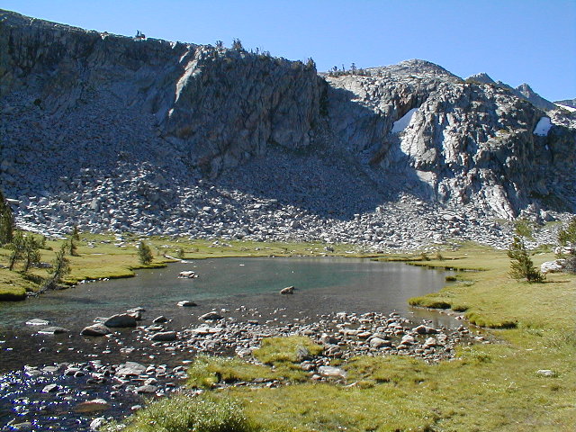
North of Donahue Pass
8/14 MON
9-7:30
We spread out in the morning, climbing 1,400 feet in 3.6 miles (a moderate climb) to cross Donohue Pass (11,056), the second highest pass of trip. We descended steeply into the Rush Creek drainage, leaving Yosemite for Ansel Adams Wilderness, to the only section of the JMT on the east side of the Sierra. At Donohue Pass, Banner Peak and Mt. Ritter appear. From here it's more or less down to Red's Meadow at 7,600.
From Donohue, it's exposed terrain and rough stone steps for 2.5 miles, then through lush glacial meadows, fording Rush Creek, to Marie Lakes trail junction on the right. About a mile later we passed the Rush Creek /Waugh Lake/Gem Lake trail junction on the left.
It's a short, hard climb of about 600 feet to cross Island Pass (10203) , leaving Mono County and entering Madera County, returning to the west side of the divide. This is some of the most intensely beautiful lake-and-glacial-lawn territory of the trip.
Then it was slightly down to Thousand Island Lake (9833). The JMT and the PCT split at the lake's outlet, with the PCT turning east and the JMT turning southeast on a footbridge over the outlet. In a moderate climb, we quickly pass Emerald Lake on the left, then Ruby Lake on the right. Then it's a short brutish climb into the bowl for Garnet Lake. After a bruising downhill into the bowl as darkness closed in, we walk around the east edge of Garnet Lake (9680), with Ritter and Banner nearby to the southwest. Exhausted, we camp on the south shore of Garnet, just outside the closure zone that extends for a quarter-mile on each side of the outlet.
Total: 12.6 miles 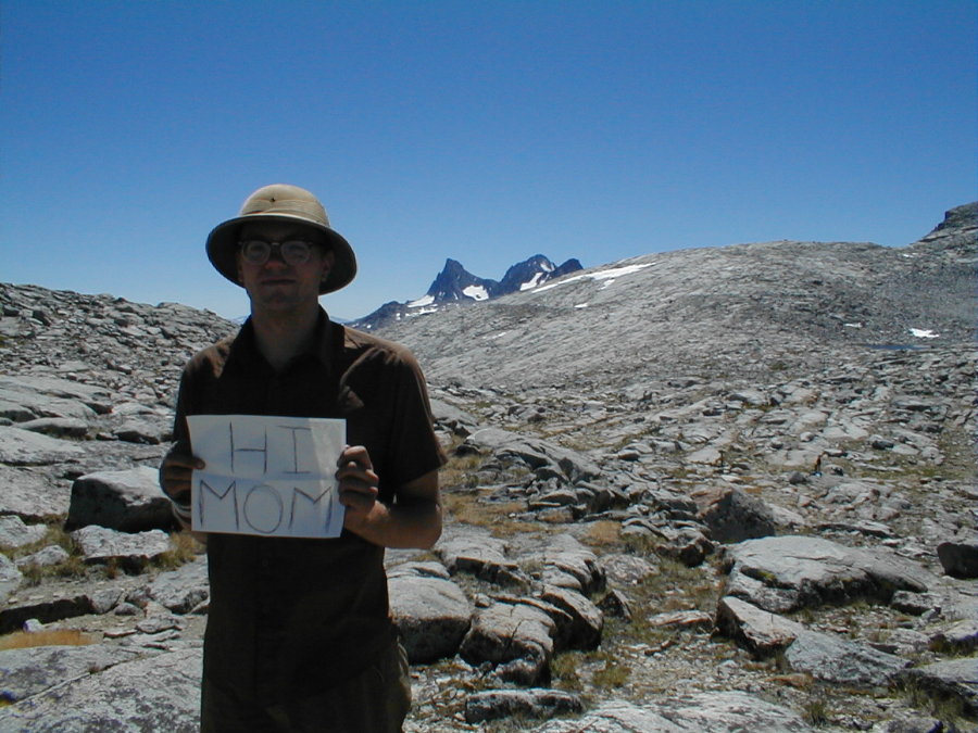 Zach at Donohue Pass.
 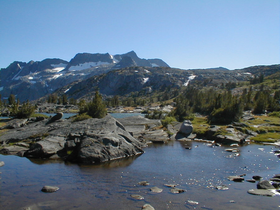 North of Thousand Island Lake